← All services
Service
AI Field Delineation
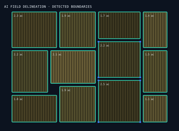
A custom-trained deep-learning model that automatically detects and outlines agricultural field boundaries from satellite imagery, turning raw imagery into precise, per-field polygons and area estimates. Deployed as a live, testable service.
What's included
How we deliver.
01
Custom model
A deep-learning segmentation model built in-house.
02
Automatic
Detects boundaries directly from imagery.
03
Per-field output
Clean georeferenced polygons with area estimates.
04
Live demo
Deployed and ready to try on your own area.
How we work
Research to deployment, in three moves.
01
Discover
We learn your goals, constraints, and success metrics before writing a line of code.
→
02
Build
We design, engineer, and iterate, with you in the loop at every milestone.
→
03
Deliver
We ship, scale, and support, with maintenance and improvements over time.
Related
Explore related services.
Ready to start?
Tell us about your project, we'll bring the engineering and the science.