← All services
Service
Precision Agriculture & Crop Intelligence
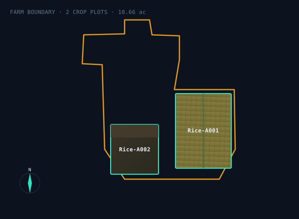
Give us your farm area and we deliver insights across your entire crop cycle, drone & satellite field mapping, per-plot area measurement, elevation models, and crop-health monitoring for higher yield and lower cost.
What's included
How we deliver.
01
Field mapping
Precise farm and per-plot area measurement.
02
Elevation models
Surface height for drainage and water planning.
03
Crop monitoring
Health tracking through the whole growing season.
04
Actionable reports
Clear recommendations you can act on.
How we work
Research to deployment, in three moves.
01
Discover
We learn your goals, constraints, and success metrics before writing a line of code.
→
02
Build
We design, engineer, and iterate, with you in the loop at every milestone.
→
03
Deliver
We ship, scale, and support, with maintenance and improvements over time.
Related
Explore related services.
Ready to start?
Tell us about your project, we'll bring the engineering and the science.